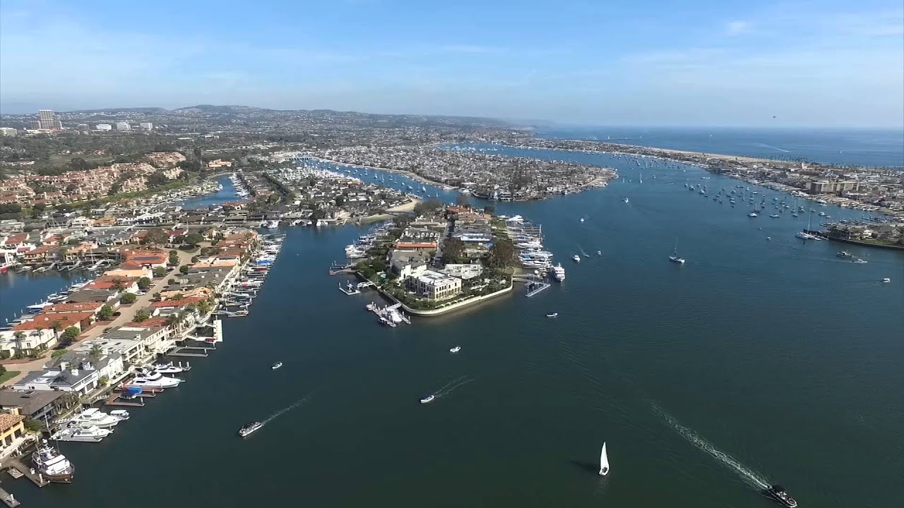
Newport Harbor
This central hub features high vessel density and proximity to historic waterfront infrastructure. It serves as the primary gateway for those exploring the lower bay.
Approach from the south to identify marked mooring fields clearly.

Narragansett Bay stretches 28 miles from Providence to Newport, offering cruisers 147 square miles of protected waters with consistent depth, established navigation markers, and over 30 harbors. This guide covers the routes, facilities, and conditions that shape a safe passage through Rhode Island's most-sailed estuary.
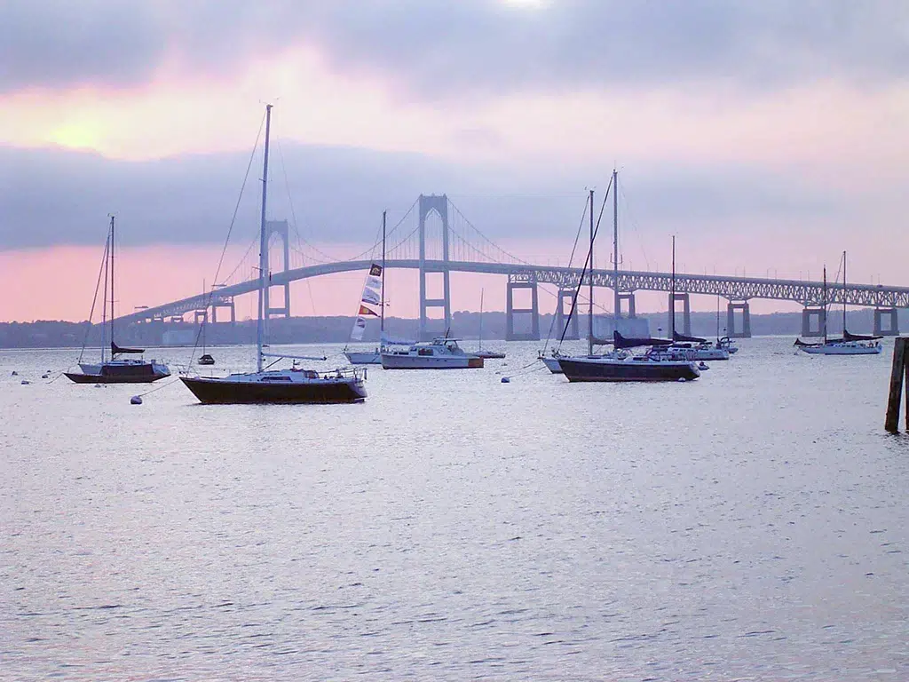
Quick answer
A narragansett bay cruising guide provides mariners with navigation charts, tidal current tables, harbor approach bearings, and facility locations across Rhode Island's largest estuary. The bay operates as a public waterway with free access year-round, though southwest winds between 1200 and 1700 hours create challenging sea states—arrival between 0800 and 1100 avoids peak wind and weekend traffic. Ninety-two percent of the bay maintains depths above 12 feet at mean low water, making it accessible to most recreational vessels.
Narragansett Bay's two primary channels—the East Passage past Jamestown and Conanicut Island, and the West Passage along the mainland shore—funnel tidal currents at 1.5 to 2.5 knots during spring exchanges. The Providence River at the bay's northern terminus reverses current direction four times daily, while the Sakonnet River on the eastern boundary runs unidirectionally south during ebb. Prudence Island divides the upper bay into distinct sailing zones, each with different fetch characteristics and wind shadow patterns. Navigation here relies on 127 federal aids managed by the U.S. Coast Guard, including lighted buoys marking the shipping channel from Brenton Reef to Fields Point. Chart 13221 covers the entire bay at 1:40,000 scale, while harbor-specific inserts detail approaches to Newport, Wickford, Bristol, and Providence. Magnetic variation stands at 14°30'W as of 2026, requiring regular compass adjustment for accurate dead reckoning. The bay's granite and glacial till bottom provides excellent holding in most anchorages, though eel grass beds in shallow coves can foul lightweight anchors. Weather patterns shift decisively with seasons—summer brings southwest thermals peaking at 15 knots by early afternoon, while autumn nor'easters generate 6-foot seas in exposed reaches. The National Weather Service issues marine forecasts for three zones within the bay, with Point Judith serving as the boundary reference. Fog forms most frequently in May and June when cold currents meet warming air, reducing visibility below one nautical mile on 12 to 18 days per month. A narragansett bay cruising guide prioritizes these micro-climates when planning daily passages, as conditions in the lower bay near Castle Hill often differ sharply from the northern basin off Barrington. Harbor facilities range from full-service marinas with fuel docks and pump-out stations to municipal moorings maintained by harbormaster offices in 14 coastal towns. Overnight transient rates vary by location and amenity level, with advance reservation recommended for July and August weekends. Provisioning options exist in nearly every harbor community, though marine supply stores cluster in Newport, Jamestown, and Warwick.
“The bay's 127 federal navigation aids and established tidal patterns make it one of the most reliably charted cruising grounds on the Atlantic coast.”
The most favorable time to navigate Narragansett Bay is between 08:00–11:00 to minimize exposure to prevailing afternoon southwest winds and avoid peak vessel congestion. Planning your voyage during the shoulder months provides stable conditions and more predictable maritime traffic.
Mild temperatures averaging 60°F–75°F. Winds are generally lighter and more stable.
Ideal for consistent sailing conditions before the peak summer heat and density.
Warm temperatures averaging 75°F–85°F. Afternoon southwest winds increase significantly.
Expect busy waterways and higher wind speeds during the late afternoon hours.
Cooler temperatures averaging 55°F–70°F. Weather patterns become more settled.
This period offers stable air and water conditions with significantly reduced maritime traffic.
—
The best daily window for calm water and reduced navigation complexity.
Verdict: For the most stable and quiet experience, target weekday mornings during the months of September or October.
Narragansett Bay is a natural public waterway accessible to vessels at all times. The bay remains open for navigation throughout the week.
Narragansett Bay is located in Rhode Island and is accessible via the Atlantic Ocean through the East Passage or the West Passage. Most vessels approach from the south, passing Point Judith or Brenton Reef.
East Passage via Brenton Reef
Route 138 to Jamestown or Newport
RIPTA lines to Newport or Providence
Plan your arrival for the 08:00–11:00 window to avoid afternoon southwest winds and peak weekend vessel traffic throughout the bay.
Narragansett Bay offers diverse cruising corridors, ranging from historic harbors to open passages. Navigators should utilize these key areas to plan their route through Rhode Island's primary waterway.
This central hub features high vessel density and proximity to historic waterfront infrastructure. It serves as the primary gateway for those exploring the lower bay.
Approach from the south to identify marked mooring fields clearly.
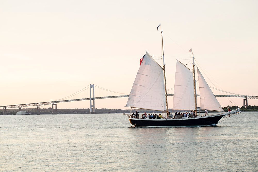
Providing a more sheltered route compared to the East Passage, this corridor runs between the mainland and Conanicut Island. It is often preferred during periods of higher wind.
Stay west of the Plum Beach Shoal bell buoy.
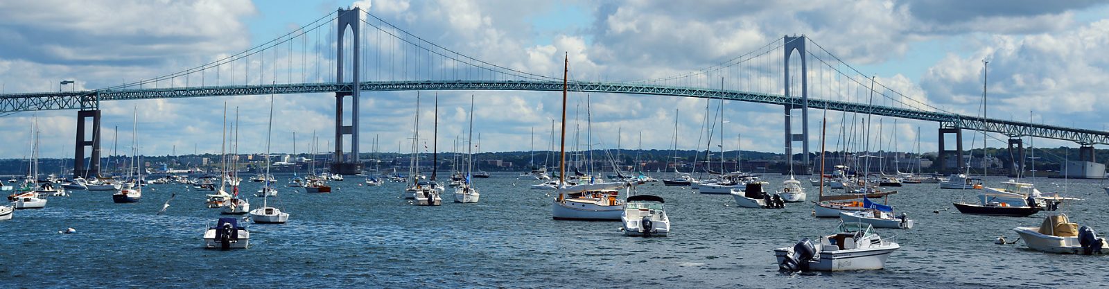
This primary deep-water channel connects the Atlantic Ocean to the upper bay, passing under the Pell Bridge. It offers significant room for larger vessels.
Maintain a center-channel heading when passing the Newport Bridge.
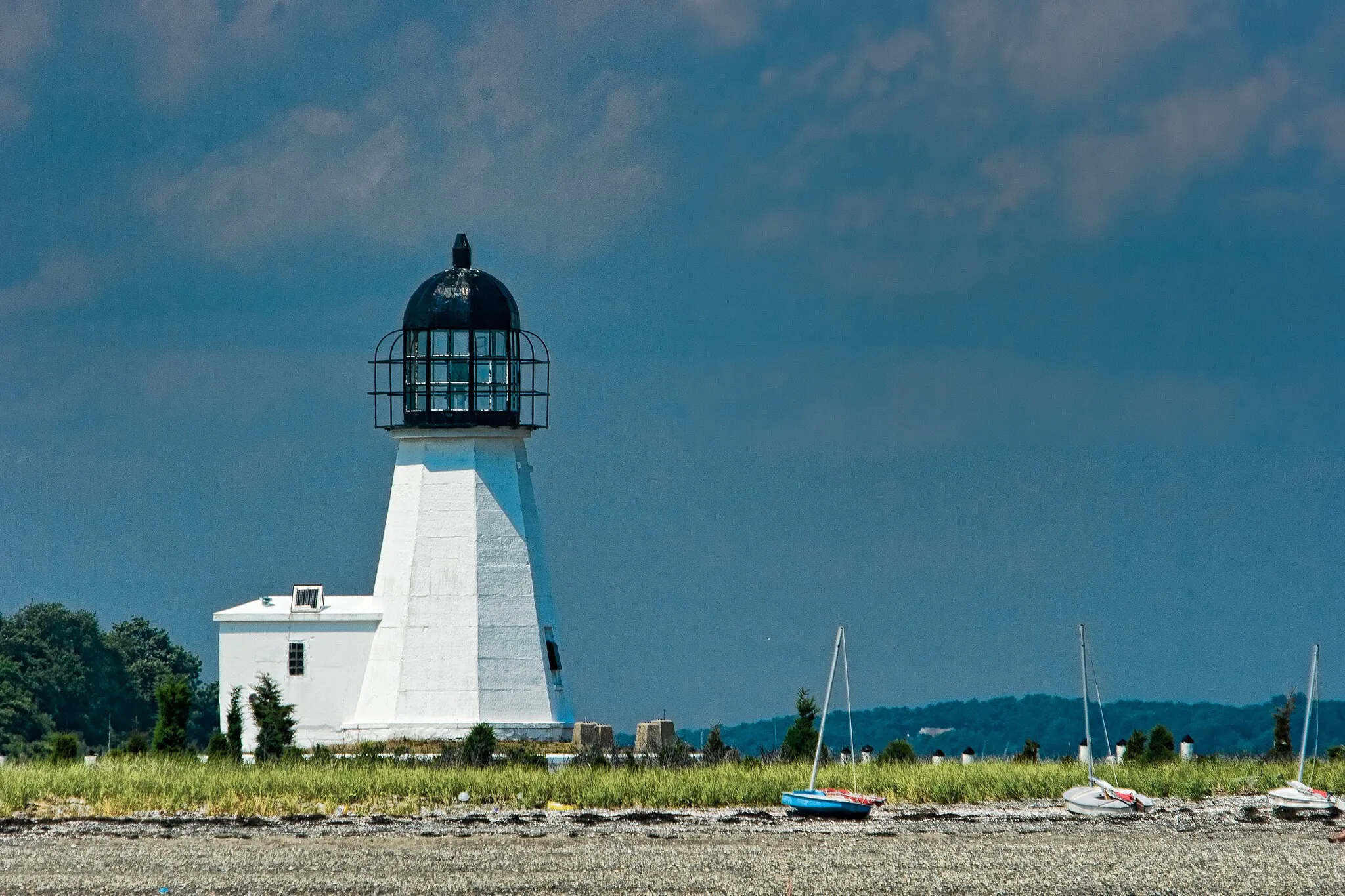
Located centrally within the bay, this island provides natural windbreaks and various anchorage options. It is a frequent point of interest for cruisers seeking quieter waters.
Check current tidal charts for depth near the island perimeter.
Prepare your vessel and crew with these safety and documentation essentials before departing for Narragansett Bay.
Everything you need to know about narragansett bay cruising guide
A narragansett bay cruising guide helps you plan your route through the complex coastline and island chains. It provides essential data on tides, depths, and local navigational hazards for mariners. Mariners should review the guide to identify protected anchorages and harbor facilities before departure. Utilizing a reliable sailing map ensures you make the most of the diverse maritime scenery.
The best time to visit is during the early morning hours, specifically between 08:00 and 11:00. This window helps you avoid the afternoon southwest winds and peak weekend vessel traffic that can occur in the bay. Planning around these conditions ensures a smoother and more enjoyable experience on the water.
There is no entrance fee required to access the area, as it is a natural public waterway. Entry is 0 USD, allowing boaters to explore the estuary freely. Please note that individual marinas or private docks may have their own separate fees for mooring or slip rentals.
To navigate effectively using a narragansett bay cruising guide, cross-reference the guide with updated nautical charts for current buoy placements. Pay close attention to the tidal currents, which can be significant in the narrower passages of the bay. Always maintain a proper lookout and monitor local maritime radio channels for weather updates.
Safety in the bay requires constant vigilance regarding changing weather patterns and maritime traffic. Ensure your vessel is equipped with required life jackets, navigation lights, and emergency communication gear. Familiarizing yourself with the Rules of the Road and local speed zones is critical for a safe voyage.
Families are welcome to enjoy the bay, provided that all passengers follow safety protocols and wear appropriately sized life jackets. A narragansett bay cruising guide can help you locate family-friendly harbors with calm waters and shore-side amenities. Always check the weather forecast carefully when traveling with children to ensure comfortable conditions.
To minimize exposure to heavy vessel traffic and afternoon wind conditions, aim to arrive between 08:00 and 11:00. This specific arrival window is recommended to ensure the most stable and predictable conditions for your outing. Arriving during this period allows you to secure your preferred route before the bay becomes congested.
Yes, a comprehensive guide will detail how autumn conditions differ from summer sailing, including water temperatures and shorter daylight hours. It is important to stay updated on marine forecasts as seasonal shifts can impact wind speed and visibility. Always verify conditions before heading out, regardless of the time of year.